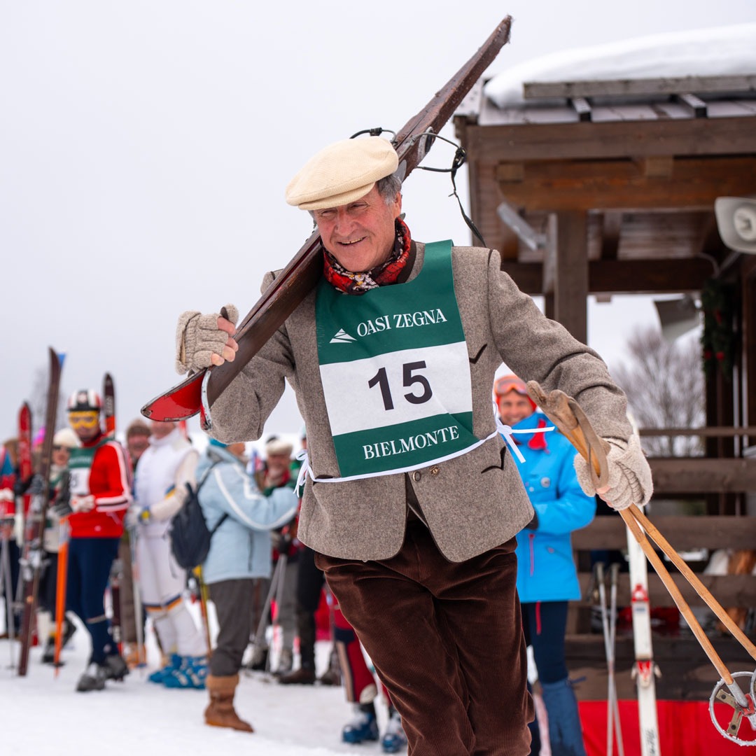
BIELLA ALPS AND THE MORAINIC AMPHITHEATRE
A spectacular itinerary taking in some of the loveliest roads in the Upper Biella area and the whole of the Morainic Amphitheatre in the Canavese area. To get the most out of this extremely panoramic and environmentally diverse trail, cyclists need to be well prepared athletically.
FIRST LEG: Oasi Zegna Bielmonte – Lago di Viverone (145 km)
Starting from the Piazzale in Bielmonte, the trail follows the famous Panoramica Zegna road towards Valle Cervo and, having crossed Biella, it heads for the Serra hill and the picturesque township of Sala Biellese. From here, it takes a road of rare beauty and practically no traffic through the birch woods typical of the Serra (moraine).
The climb to Andrate offers a spectacular panorama of Valle d’Aosta and the Ivrea Morainic Amphitheatre, followed by an enchanting run down to the valley bottom that is the natural gateway to Valle d’Aosta. Having crossed the Dora Baltea, the trail skirts the foothills of Val Chiusella to reach the eastern part of the “horseshoe” conformation of the Morainic Amphitheatre.
This hilly route takes in some veritable jewels: Lake Candia, the magnificent Castello di Masino (historic seat of the Counts of Valperga, now managed by the FAI), Lake Viverone and Castello di Roppolo with its famed wine cellars. For those wishing to visit Castello di Masino, there are numerous accommodation facilities around Lake Viverone.
SECOND LEG: Lago di Viverone – Oasi Zegna Bielmonte (87 km)
The return leg towards Andrate follows some attractive sections of the Via Francigena before taking the Tracciolino, a magnificent panoramic road across the slopes of the Biella Alps. It also takes in the ancient Trappa Monastery and three sanctuaries (Graglia, Oropa (UNESCO Heritage) and San Giovanni).
From the Santuario di Oropa, the trail climbs to the Galleria Rosazza (a tunnel at 1,488 m a.s.l. that is not lit, so bring suitable lights), which leads back to Valle Cervo before ending up in Bielmonte. Before the final climb, it’s well worth stopping off at Rosazza, the “most mysterious village in Italy”.